The weather was a warm 21 degrees, and the car park was full when we arrived around 10.40am, including the appearance of 2 police cars, and officers cycling around the hill fort when we got up there a little later on.
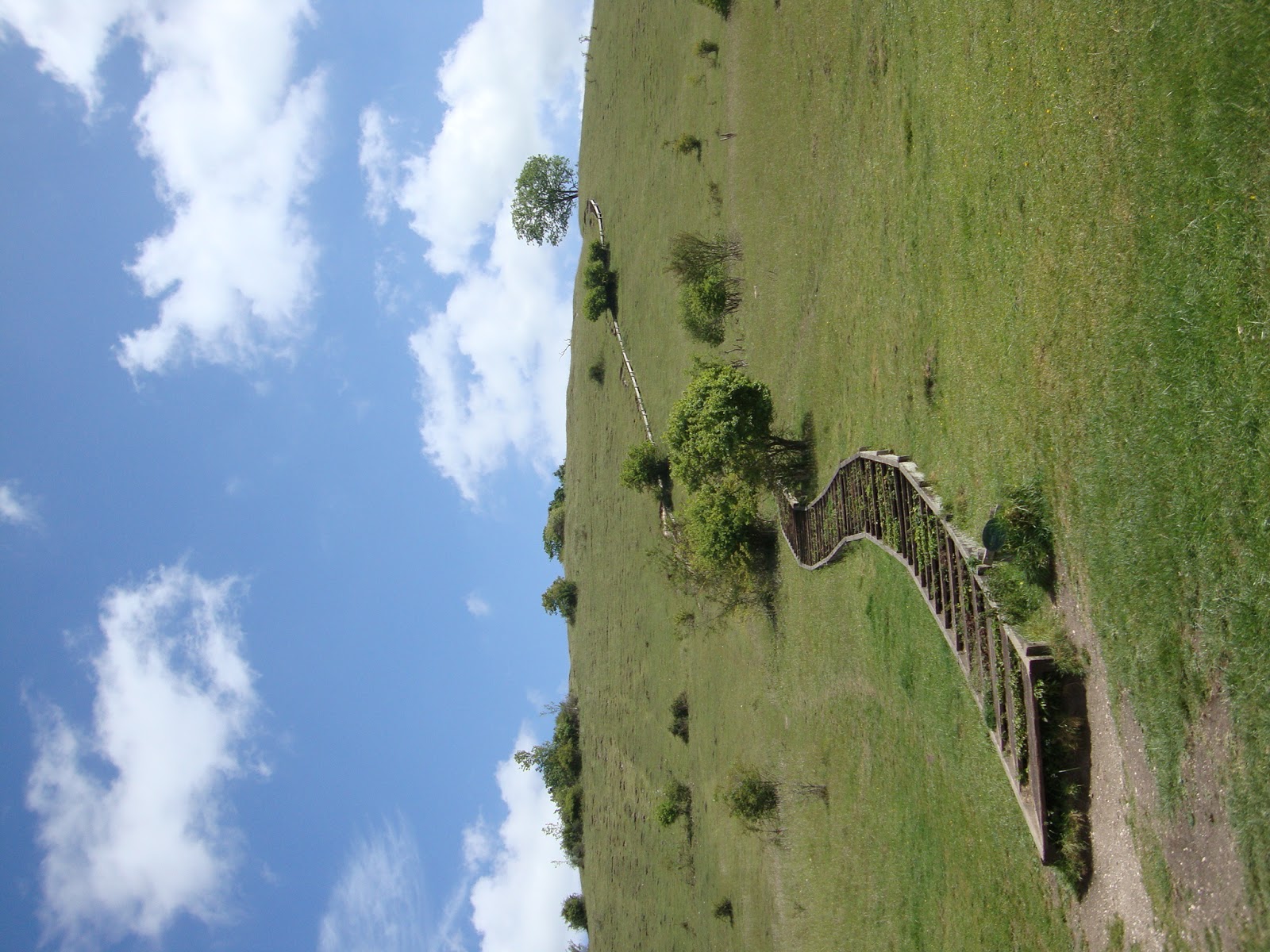
After parking the car, we walked through a small stone archway and through a cattle gate, continuing up the slope to the second gate. At the fork in the path we hangered a left and walked up the side of the hill. There are steps cut into the side, and a wooden hand rail in places. Take time to look backwards to the view of the cathedral once you are at least halfway up. There's also a bench halfway up on the left if you need to take a breather at all.

You can also see the prison from here, and St Cross Hospital. We walked across to the information board, advising you that you might be lucky enough to see skylarks, marble white and brown angus butterflies, alongside numerous plants too. The hill is actually designated a Site of Special Scientific interest so if you have an interest in this its well worth researching the area and what to look out for on your walk.
We walked around the edge of the hill fort before descending down the well placed wooden steps. The descent is sharp so using the steps would seem the sensible route to take, but if you are used to hill walking you could descend freestyle. The steps are suitable for all ages, we passed an elderly couple on their way up, but not suitable for prams or wheelchair users. The dogs made good use of the slopes to run their own way down.
The path follows the course of the river, if you look through the trees you can see two disused railway bridges, remains from the time when the railway used to be here before it was closed and moved in the 1960's when the motorway was constructed.We walked down until the crossroads and headed right, towards St Cross on the sign. Passing through the gate you walk along a paved road, the viaduct can be clearly seen to the left and then you take the next right following the signs to st cross. We saw this earlier from way up on the hill.
Walking up the lane, continue straight over a stile - this was quite steep and carries a notice that dogs should be on a lead no longer than 2 meters in front of you, the path is tight next to the river for a couple of hundred yards and then opens up a little more. Walking along the path still you come to St Cross hospital. there's a bench alongside the walled garden and a grassy bank area, if you were looking for a picnic spot or a place to take a short respite then this would be it. There are doggie bins and a black rubbish bin here too. We saw a young swan enjoying the cool water and looked over the railings into the churchyard at the gravestones.(this is slightly after the 2 mile marker on the map).

Walking alongside a small river, with plenty of shallow dipping places for the dogs you can follow the path up towards the main road, and turn right onto Garnier road. Here you are walking on the pavement next to a main road, so dogs need to be controlled and on a lead. You will pass the old pump house on your right, and the remarkable company who now own the building have maintained the old wheel and other features from the pump house so take a peek as you pass. You cross over the road to the path and then walk across the tunbridge, turning right back into the car park. Take a few minutes to walk down to the river and watch the swallows swoop under and around the bridge, if you are fast you could catch them in a picture.
Summary:
Date: 25th May 2011
Total walk: 2.94 miles
Descent: 303ft
Ascent: 327ft
Average pace: 38.21 mins a mile
Accompanied: Gary Bygrave, mustard and branston

No comments:
Post a Comment